- South Africa’s mine safety regulation requires underground workers to carry devices that reliably record and preserve their last-known location.
- Mining companies employ reader-centric and tag-centric locating systems using BLE, RFID, and hybrid approaches to track thousands of workers across complex underground networks.
- Resilient communication infrastructure combining battery-backed wireless meshes, multiple radio frequencies, and Through-the-Earth communication ensures data survives network or power failures.
- Rescue operations benefit from preserving a movement history and having portable localizing devices to aid in locating workers when fixed infrastructure is compromised.
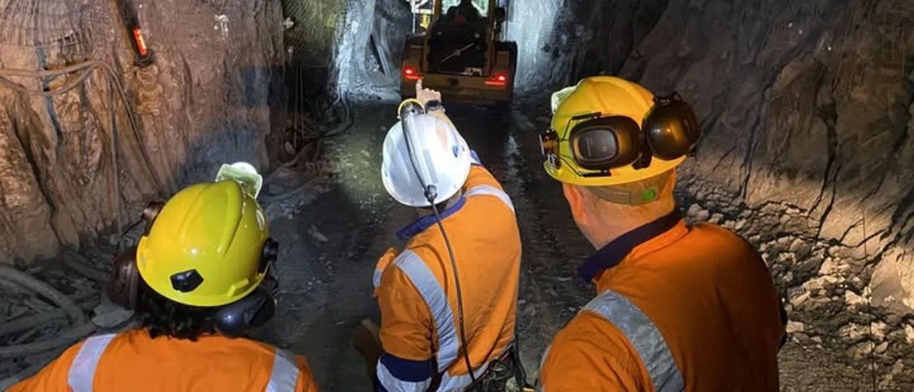
South Africa now requires underground workers to carry devices capable of establishing their last known location. In 2026, Harmony Gold, Gold Fields and Sibanye-Stillwater show why the real challenge is not one radio technology, but keeping location data available when mine infrastructure fails.
Last-Known Location Is Now a Safety Requirement
South Africa has made underground personnel locating part of mine safety regulation.
An amendment to Chapter 16 of the Regulations to the Mine Health and Safety Act, published on 28 March 2025, introduced regulation 16.7, “Missing Person Locator System”. It requires that no person goes underground without an intrinsically safe device capable of determining their last known location if they go missing. The system must include data logging, while battery life, testing, maintenance and training are also addressed by the regulation. Source: Official Government Gazette – Missing Person Locator regulation
The technology-neutral rule does not prescribe RFID, Bluetooth or another radio. Mines must determine how a Missing Person Locator (MPL) establishes a location, transports it and preserves it during an emergency.
At the Minerals Council South Africa’s Missing Persons Locator Systems Day of Learning on 8 May 2026, Harmony Gold, Gold Fields and Sibanye-Stillwater presented their implementation journeys and the practical problems they are still solving. Source: Minerals Council MPL Workshop 2026
Three Mining Groups Show the Scale of the Task
At Harmony Gold’s Tshepong Mine, supplier A&R Engineering reports 89 locator beacons and 4,900 tracked headlamps integrated with lamp-room management and other mine systems. Harmony’s experience shows that tag allocation, tracking-point placement, power, network availability and maintenance are as important as radio performance.
At Gold Fields’ South Deep mine, the objective is progressively finer context, from shaft and level toward panel and closer proximity. Additional systems can show, for example, that a worker was last detected near specific equipment in a particular working area. The aim is to reduce the rescue search area.
Sibanye-Stillwater shows the infrastructure scale. Phase 1 in 2026 includes tags on all lamps, handheld devices at shafts and trained personnel. Phase 2, targeted for 2028, adds mine-wide cabling, power supplies, switches, surface servers and control systems.
Two Ways to Create a Last-Known Location
One approach is reader-centric. The worker carries a transmitting device, while readers are installed at known underground positions. When a reader detects the worker, the system combines the person identity, known reader location and timestamp and sends the event to the control room.
Graybeard Solutions presents this architecture. The South African engineering company specializes in connectivity, tracking and automation for mining and industrial environments. Its Missing Persons Locator uses BLE and RFID, underground BLE beacon readers and a web-based control-room view. Source: Graybeard Solutions – Underground personnel locating
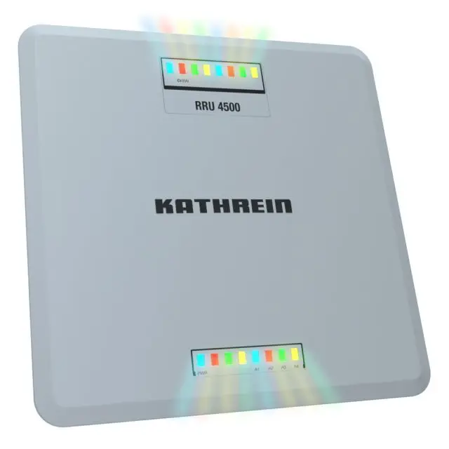
Examples of rugged UHF/RFID reader infrastructure:
Related Hardware
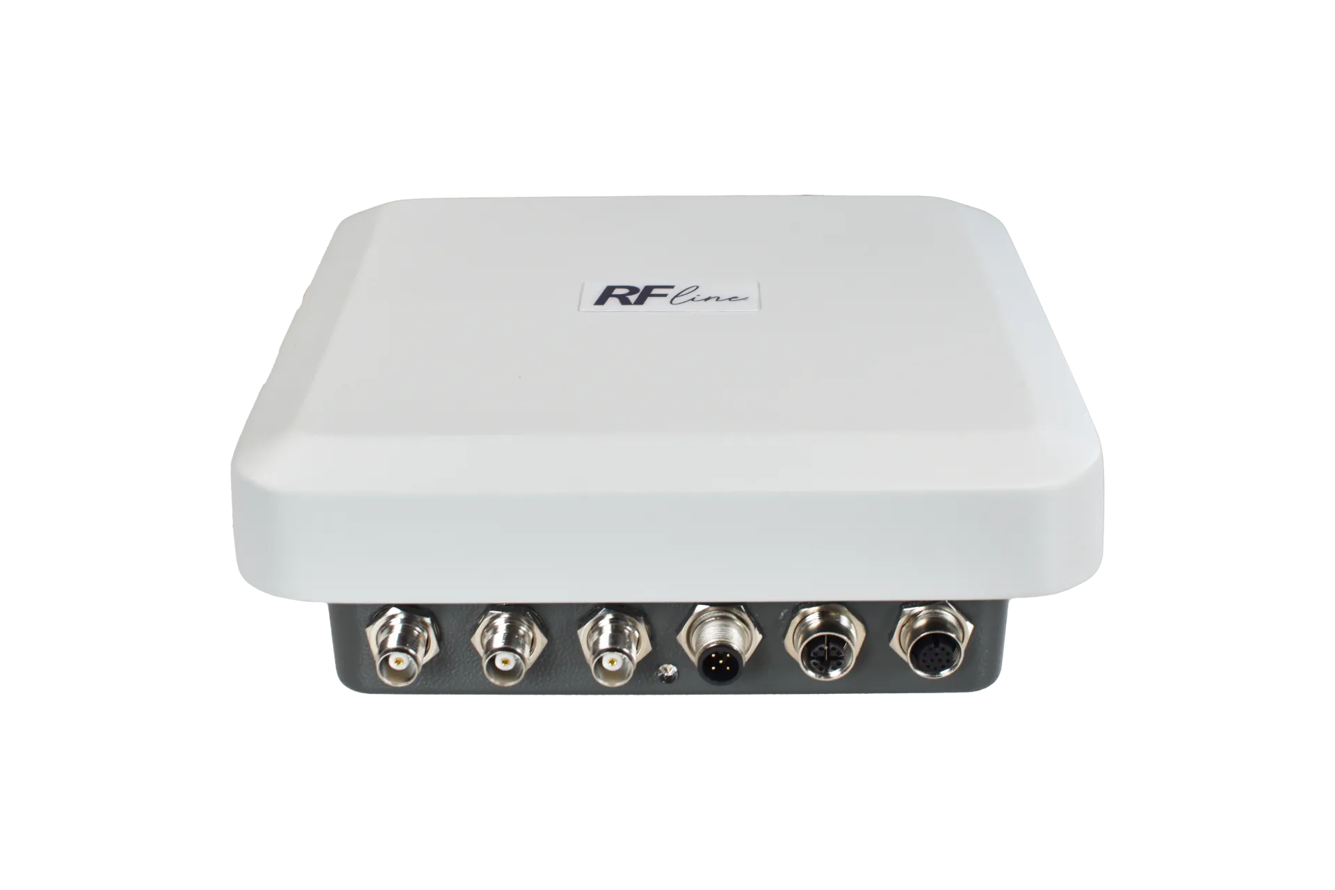
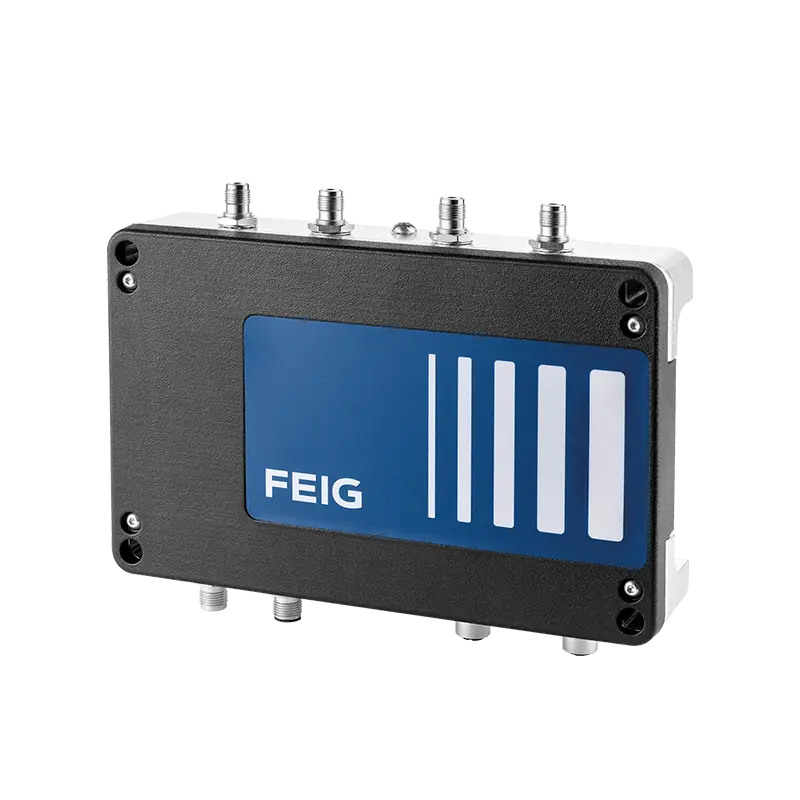
GNSS positioning cannot normally be used underground because satellite signals do not penetrate the surrounding rock. The mine therefore creates its own location reference points.
A second approach reverses the logic. Fixed location beacons broadcast their own position ID. The worker device receives that ID, combines it with its person identity and a timestamp, and sends the record through a separate communications channel.
This separates location generation from message transport. Reader-centric systems allow simpler wearables and more intelligent fixed infrastructure. Tag-centric systems can use simpler location beacons but require a more capable worker device. A hybrid architecture can combine both.
Examples of BLE beacons for fixed location reference points:
Related Hardware
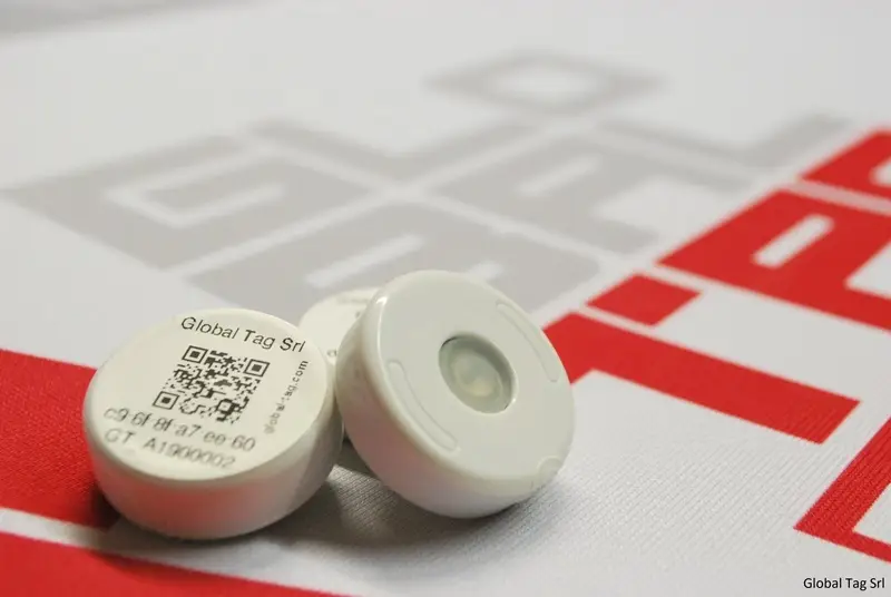
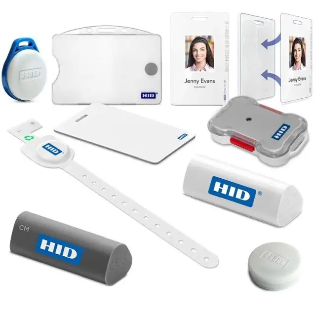
The Backhaul Must Survive More Than Normal Operations
Creating a location is only half the MPL problem. The second question is how that information reaches the control room when power, cables or network equipment fail.
Fibre and Ethernet provide predictable, high-capacity communications, but a roof fall, fire or flooding event can sever cables or isolate switches precisely when location data becomes most valuable.
The U.S. National Institute for Occupational Safety and Health (NIOSH), part of the Centers for Disease Control and Prevention (CDC), has extensively studied underground mine communications and post-accident network operation. Its research identifies backup power, alternate communication paths, infrastructure monitoring and tracking-system survivability as key design requirements. Source: NIOSH – Advanced Underground Communications and Tracking
A battery-backed wireless mesh can provide an alternate path alongside fibre or Ethernet. Neighbouring nodes relay messages and can reroute traffic through surviving radio links when one path disappears.
This can prevent a damaged cable route or local power failure from automatically interrupting the flow of location data.
Different Radio Paths Can Add Resilience
The physical behaviour of radio signals also matters underground.
The U.S. National Institute of Standards and Technology (NIST) has studied mine-specific wireless networks. In a mesh, every node does not need its own direct connection to the control room. Data can be passed from one radio node to another until it reaches the mine network.
UHF radio mainly propagates along mine tunnels, with neighbouring nodes typically communicating over less than about 600 metres. Medium-frequency (MF) radio behaves differently: its signals can couple onto metallic infrastructure such as rails, cables or leaky-feeder systems. Under suitable conditions, NIST reports individual links of up to about 3.2 kilometres. Source: NIST – Modeling Mine Mesh Networks
That difference can matter after an accident. A damaged tunnel route may interrupt one propagation path while another remains available. NIST specifically notes that signals travelling along hardened metallic conductors may offer useful resilience during events such as roof collapses.
For an MPL, the point is not that one frequency is always superior. Different communication paths provide different forms of redundancy.
The Network Can Also Reveal Where Trouble Starts
A wireless safety network can potentially provide information beyond worker location.
If several battery-powered nodes in one sector suddenly disappear while nodes on either side remain operational, the control room can see where connectivity has been interrupted. That does not prove that a tunnel has collapsed. Equipment failure, radio obstruction or physical damage could produce the same result.
But combined with last worker detections, gas measurements, ventilation status and geotechnical sensors, the failure pattern could help show which parts of the mine may be affected or isolated.
This makes infrastructure diagnostics part of the emergency picture. A safety network should not only locate workers; it should also report its own blind spots.
How Do Rescue Teams Reach the Missing Worker?
Knowing the last-known location is only the starting point. Rescue teams also need a way to communicate with the worker, if possible, and narrow down the actual position.
If parts of the mine network remain operational, wireless mesh or temporary “breadcrumb” relay nodes can extend voice, text and data communications as rescuers move toward the affected sector. NIST has demonstrated such rapidly deployable relay concepts for first responders entering mines, tunnels and other environments with radio dead spots.
If the normal network is severely damaged, Through-the-Earth (TTE) communication provides a fundamentally different option. Very low-frequency electromagnetic signals can propagate through rock instead of following tunnels, fibre or leaky-feeder infrastructure. NIOSH has demonstrated TTE communication through hundreds of metres of overburden, including two-way voice and text concepts.
Lower data capacity and demanding antenna and power requirements make TTE primarily a post-accident communication layer, not a replacement for the normal MPL network.
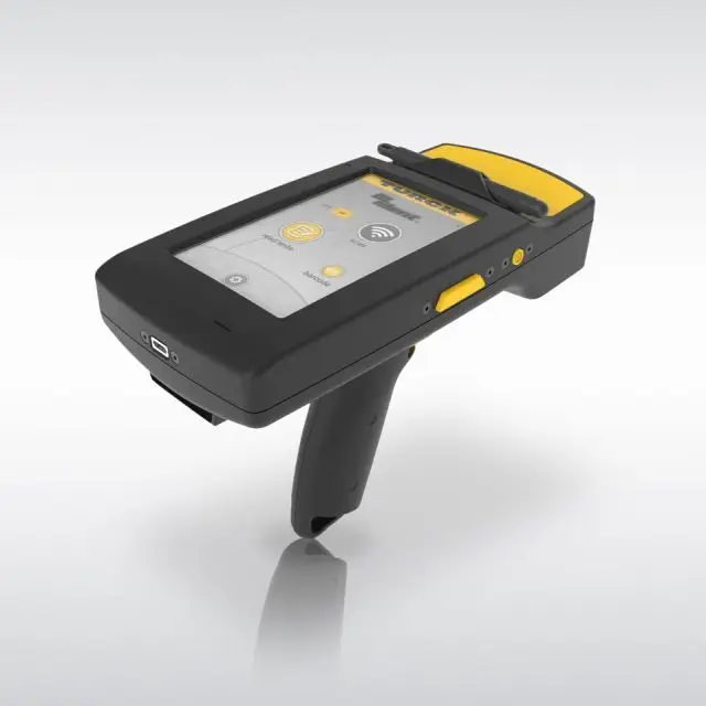
If the worker is injured or unconscious, communication alone is insufficient. Rescue teams then need portable equipment capable of detecting the worker’s device locally. A&R Engineering’s MPL includes handheld locator units that guide rescuers with visual and audible cues even when major fixed infrastructure has been damaged.
Example of portable UHF RFID hardware for local tag detection:

A resilient rescue concept therefore combines last-known location, a survivable communication path and a local means of homing in on the worker.
Store the Location More Than Once
A safety-critical location record should not exist in only one central database.
A resilient system can store recent events in the control room while also buffering them at readers, gateways or the worker device. If communications disappear, the last transmitted position remains available at the surface while newer records may survive underground.
Instead of recording only one last detection, the MPL can preserve a short movement history:
14:31 Level 85 entrance
14:36 Crosscut 8
14:39 Crosscut 11
14:42 Working Face 85-4
Such a sequence tells rescue teams not only where the worker was last detected but also which direction the person was moving before contact was lost.
South Africa’s regulation explicitly requires data logging, while A&R Engineering describes offline access to last-known information when infrastructure is damaged.
The Architecture Matters More Than the Radio Brand
South Africa’s requirement is creating a broader Wireless IoT engineering challenge than selecting an RFID tag, BLE wearable or another radio.
A complete MPL has to establish the worker’s identity and location, transport that information through the mine, detect failures in its own infrastructure, preserve the location history and give rescue teams another way to communicate with or physically locate the worker after an incident.
Reader-centric and tag-centric locating can both contribute. Fibre provides predictable backhaul, while battery-backed wireless networks can offer independent routes. Different frequencies create different propagation behaviour, and portable rescue locators or TTE communication can add another layer after normal infrastructure has been damaged.
The most effective MPL architecture will depend on the mine topology, existing infrastructure and the risks that have to be covered. What matters is how well locating, resilient data transport, stored location history and rescue access work together when normal operations are disrupted.
The decisive questions are: How recent is the last trustworthy location, how narrowly does it define the search area, and how much of that information and communication capability survives the incident?