SmartForestFire detects smoke before wildfires escalate

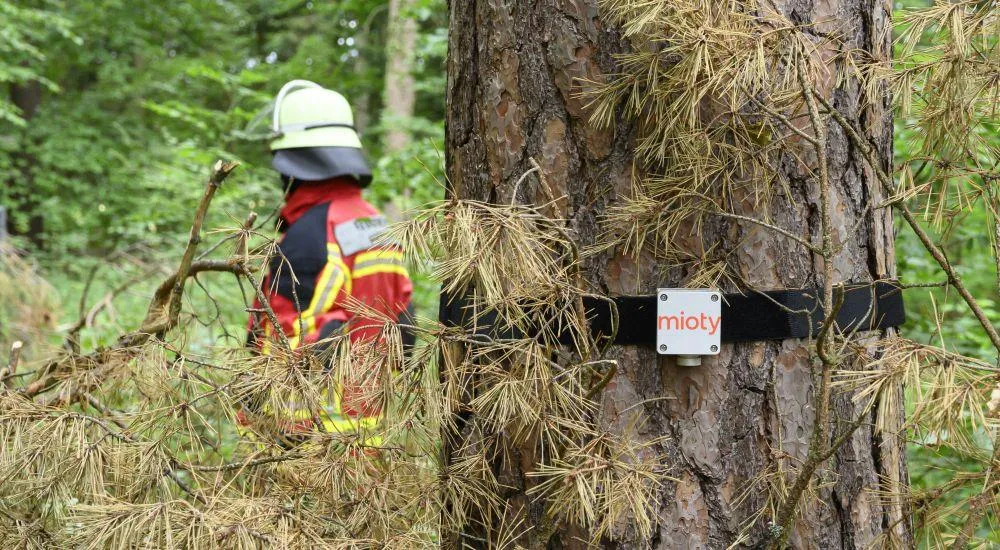
While wildfires are currently ravaging numerous regions in Europe and North America, Fraunhofer IIS and Fraunhofer IML are testing an AI-based early-warning system in the Tennenloher Forest southeast of Erlangen. SmartForestFire combines cameras, environmental sensors, geodata, and mioty® wireless communication to create an automated situational overview.
Early detection is becoming a critical factor
Major wildfires in Spain, France, Scotland, and Canada are currently demonstrating how quickly fires can spread across large areas under dry and hot conditions, endangering people and tying up emergency responders for extended periods.
European data also underscores the relevance of this issue: By July 15, 2026, 167,326 hectares in the EU had already been affected by wildfires. With 1,083 recorded fires, the number was more than double the long-term average.
SmartForestFire therefore focuses on the stage before actual firefighting begins. The system is designed to detect smoke early, automatically assess potential hazards, and transmit relevant information directly to control centers and emergency responders.
AI Distinguishes Smoke from Fog and Dust
Multi-stage AI models analyze the camera images and are designed to reliably distinguish smoke from interfering factors such as clouds, fog, or dust.
Georeferenced sensor data is also incorporated into the analysis. This includes air temperature, wind, soil moisture, smoke, and CO₂. By combining image, sensor, and geospatial data, the system aims to reduce the number of false alarms and assess the situation more precisely.
This approach also enables the use of more cost-effective hardware. As a result, even smaller, hard-to-reach, or particularly vulnerable forest areas could be monitored automatically in the future.
mioty® connects sensors and the control center
For wireless transmission, SmartForestFire uses the LPWAN technology mioty®, developed by Fraunhofer IIS. The method, based on Telegram Splitting, is designed for energy-efficient and interference-resilient communication over long distances.
This ensures that sensor data is transmitted reliably to the control center even in the vicinity of other wireless systems, under challenging site conditions, or with limited communication infrastructure.
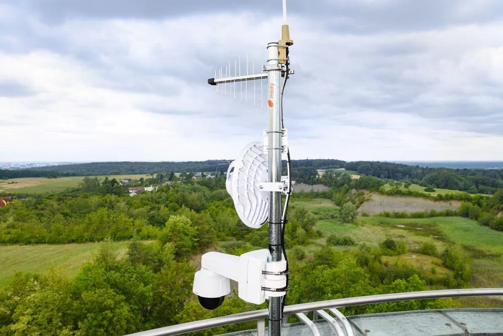
In addition, the project is investigating the positioning of the sensors using time-of-flight differences in the mioty® signals. Three base stations in Marloffstein, Tennenlohe, and southern Erlangen cover an area of approximately 200 square kilometers for this purpose.
The position of the reporting sensors allows an event to be geolocated. A potential spread of the cause of the alarm can also be tracked in this way.
Platform Provides an Up-to-Date Situation Overview
All image, sensor, and geodata converge in a central visualization platform. There, image and video sequences from different time periods and perspectives, as well as information on weather, forest conditions, location, and accessibility, are available.
The control center thus receives not only an automated alert but also an up-to-date situational overview for risk assessment and operational planning.
For system integrators and solution providers, the integration of AI-based image analysis, LPWAN sensors, georeferencing, and control center connectivity is particularly relevant. SmartForestFire demonstrates how different data sources can be combined into a seamless early-warning system.
Pilot Operation Under Real-World Conditions
Since September 2025, an initial camera has been in test operation on a Fraunhofer IIS radio tower in the Tennenloher Forest. Personal data is anonymized directly on the camera before the image data leaves the device.
By late summer 2026, three camera locations as well as additional mioty® base stations and sensors are scheduled to be installed. According to the project team, initial tests are already demonstrating reliable detection of smoke in its early stages.
Once the internal testing phase is complete, emergency responders and the Nuremberg Integrated Control Center will be automatically notified of potential wildfires.
“Only the combination of modern AI-based image analysis, suitable sensor technology, robust wireless communication, and the experience of emergency responders enables a system that functions reliably and cost-effectively under real-world conditions,” explains Tobias Raczok, research associate at Fraunhofer IIS and project coordinator for SmartForestFire.
Learn more about SmartForestFire on the German-language project page of Fraunhofer IIS: https://www.scs.fraunhofer.de/de/referenzen/smartforestfire.html